Clustering of areas and zoom levels on map
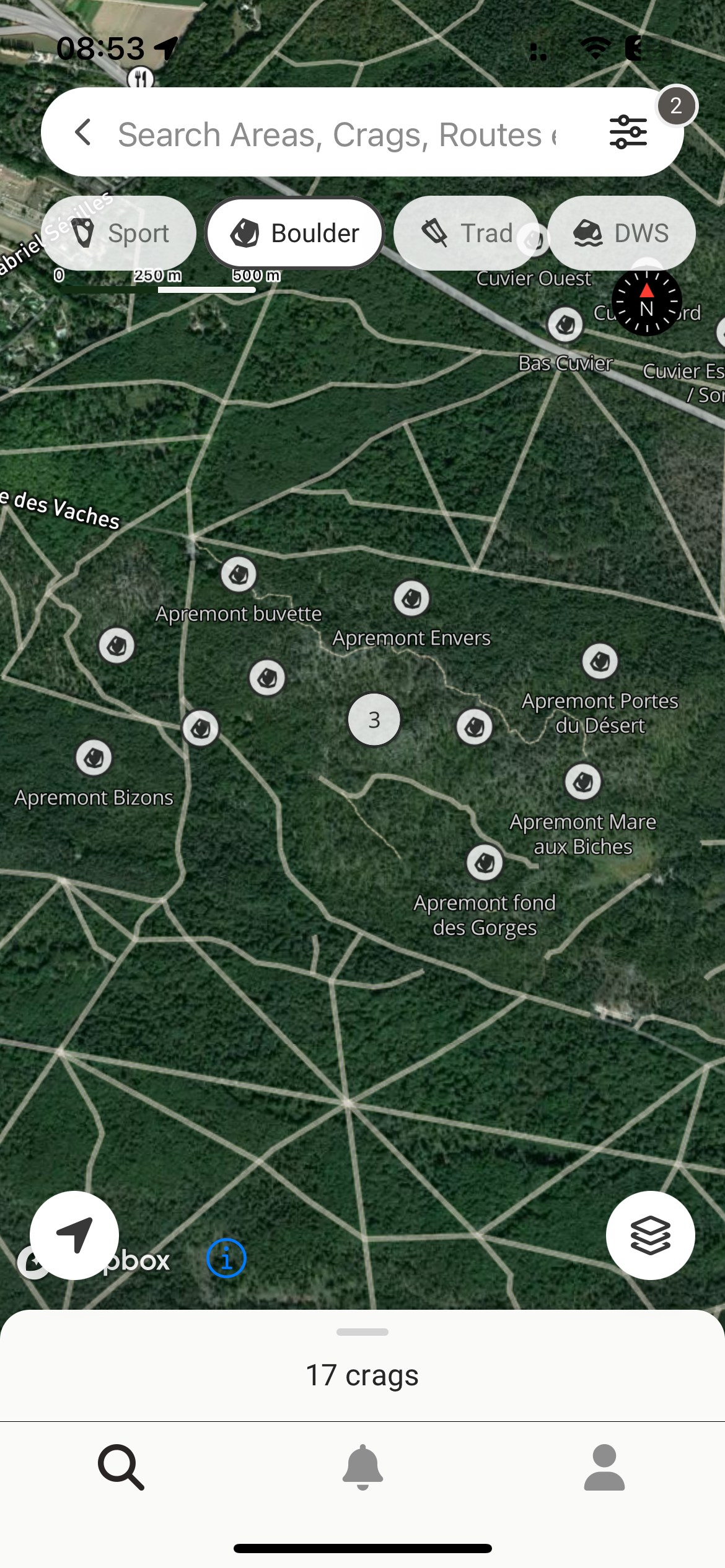
when there are many areas in one place, like in Fontainebleau (screen grabs), I find the clustering of areas (show numbers instead of the names of the areas) useful.
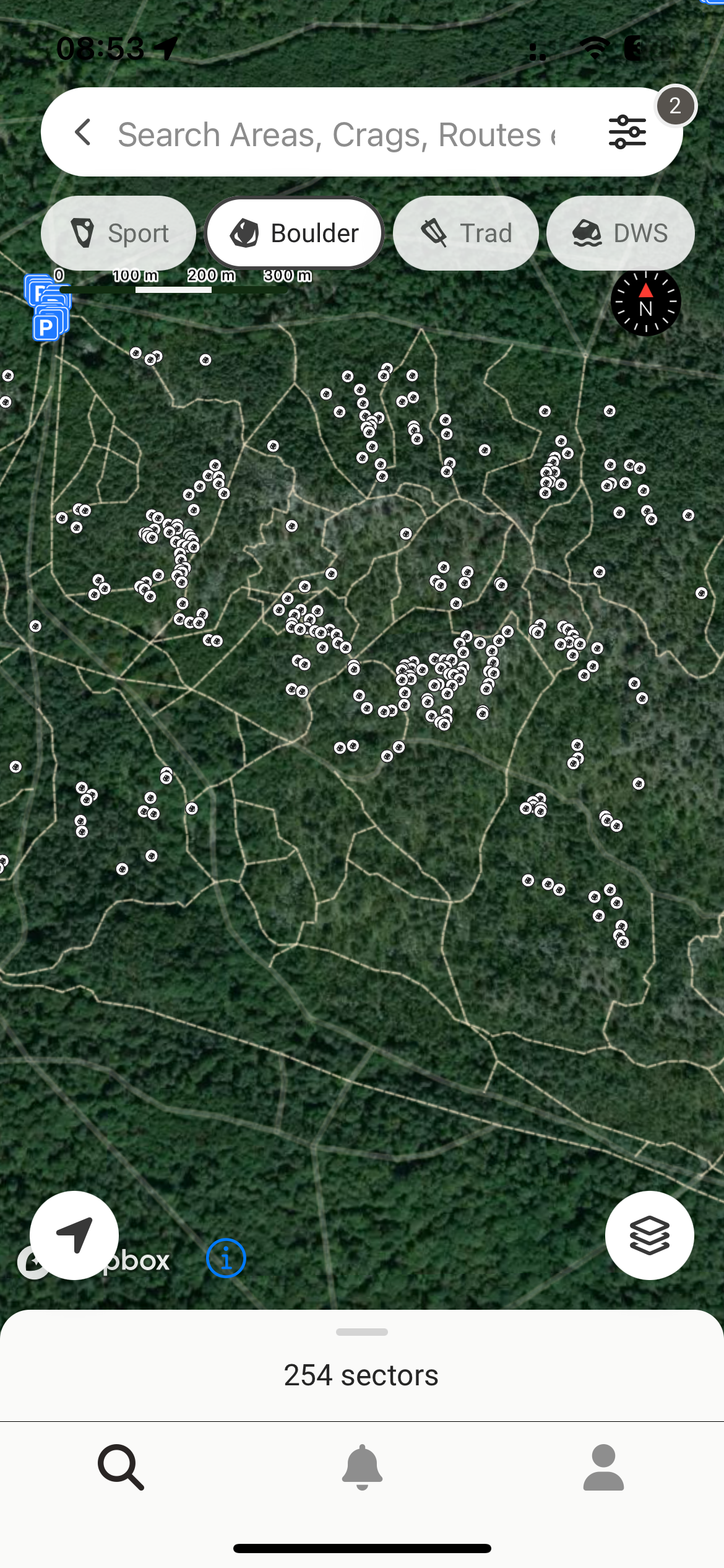
However, when I zoom in, the areas de-cluster into single boulders/problems straight away. I think it’d be cool if the areas would always first divide into single areas, and only at a even closer zoom level, turn from area markers into boulders.
Now, this way, I can’t ever see the names of these two areas (screen grabs) because at a certain level, the cluster (3) turns straight into the view showing the boulders of both the areas.
Does this make sense?
Thanks! :)
Marc
No comments yet
Be the first to share your thoughts.